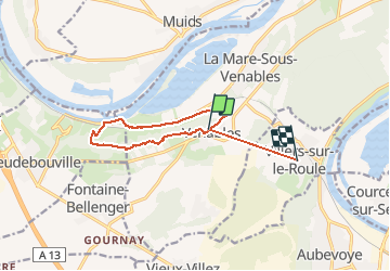

9,8 km | 11,2 km-effort


Utilisateur


Application GPS de randonnée GRATUITE
 SityTrail
IGN / Instituts géographiques
SityTrail World
Le monde est à vous
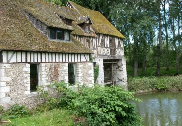
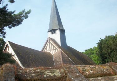
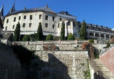
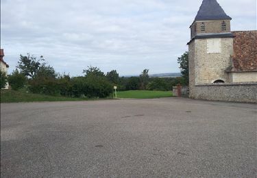
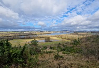
Randonnée Marche de 10,5 km à découvrir à Normandie, Eure, Les Trois Lacs. Cette randonnée est proposée par mykeluce.
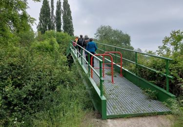
Partir de venables Faire les coteaux jusqu’à dépasser les moulins à vent. Continuer puis descendre sur le Prieuré de Lormais. Chemin de halage et remonter pour récupérer le chemin longeant la voie ferrée. Fin du trajet par la route.

Marche
Marche

Marche
Marche

Marche
Marche
Marche